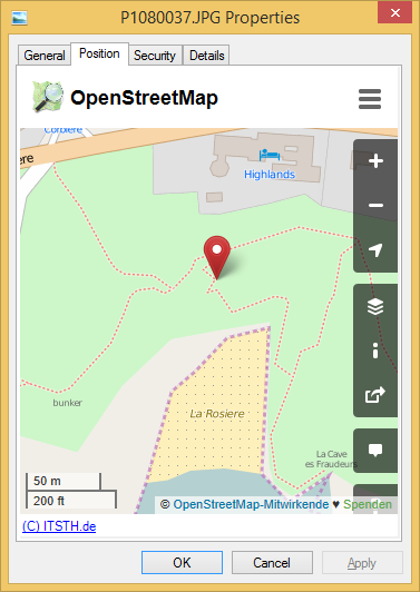
Jpg2map: JPG / EXIF map in the file properties
Today, a new small tool, which I publish as freeware. Many photos (eg. from mobile phones) nowadays contain the coordinates of the place where the picture was taken. Now where was that again? How can I look at it?
With jpg2map it’s really simple. In the properties of the file you will find a map of the place. As usual zoom- and scrollable (Thanks to OpenStreetMap).
